


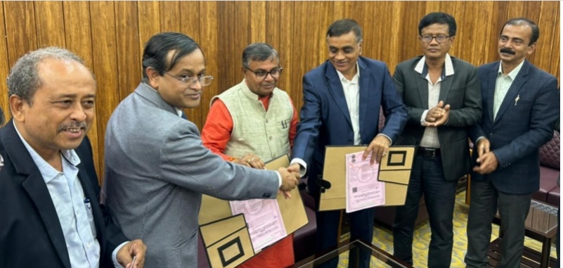
Agartala: The Tripura government has inked a pact with the National Bureau of Soil Survey and Land Use Planning (NBSS) in Nagpur for scientific mapping and assessment of cultivable land through geo-spatial techniques in three districts of the state.
State Agriculture and Farmers’ Welfare Minister Ratan Lal Nath said the initiative aims to enhance agricultural productivity and achieve self-reliance in foodgrain production.
The MoU will facilitate detailed land resource mapping using geo-spatial techniques across three districts of the state, enabling crop-specific planning and promoting sustainable farming practices.
Initially, the NBSS will assess the soil in North Tripura, Dhalai and Unakoti.
Nath said the initiative was launched three years ago to study soil layers and land conditions in the state.
The minister remarked that previous governments had spoken about making Tripura self-sufficient in foodgrain production but lacked a concrete and scientific roadmap.

With scientific inputs from the NBSS, the government will now formulate crop-specific plans in consultation with soil experts to ensure benefits for farmers.
The minister stated that the scientific soil analysis will facilitate the identification of optimal areas for crops like paddy, millet, rubber and palm oil, leading to improved planning and increased profits for farmers.
ALSO READ: Tripura brick kiln chimney collapse toll rises to five; owner arrested
He further noted that before the present government assumed office, only 22 development blocks in Tripura were self-sufficient in foodgrain production. This number has since increased to 30, with five more blocks expected to achieve self-sufficiency within the current year.


