GUWAHATI: The decades-long border dispute between Assam and Mizoram is nearing a resolution as Mizoram Chief Minister Lalduhoma is expected to meet with his Assam counterpart, Himanta Biswa Sarma, later this month.
Reportedly, the meeting is expected to take place during the North Eastern Council (NEC) plenary session scheduled for January 19 in Shillong, Meghalaya.
The NEC plenary session, to be chaired by Union Home Minister Amit Shah, provides a strategic platform for the leaders to address the intricacies of the border dispute that has strained relations between Mizoram and Assam.
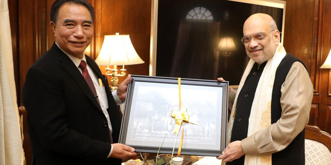
Earlier, Chief Minister Lalduhoma, following discussions with Union Home Minister Shah in Delhi on January 5, had stressed on his government’s commitment to resolve disputes at a political level.
“We want disputes and violence not to occur anymore in the future,” he had told a news agency.
Additionally, Lalduhoma had previously announced the formation of a boundary committee involving all stakeholders to address any issues related to the border with neighbouring states.
The upcoming meeting between the two chief ministers is expected to be yet another step towards resolving the issue and establish lasting peace to the Mizoram-Assam border region.
The border dispute escalated in July 2021, resulting in a tragic clash along the inter-state boundary.
Six policemen and a civilian from Assam had lost their lives, and over 60 people sustained injuries in the violent confrontation near Mizoram’s Vairengte village.
Since then, both states have engaged in several rounds of talks and committed to maintaining peace along the boundary while seeking resolution through dialogue.
However, despite numerous talks, there is no ground demarcation of boundaries between the two states.
The root of the conflict lies in colonial demarcations from 1875 and 1933.
Mizoram asserts that a 509 square miles area of the inner line reserved forest, designated in 1875 under the Bengal Eastern Frontier Regulation (BEFR) 1873, belongs within its territory.
Conversely, Assam refers to the Survey of India’s 1933 map as its Constitutional boundary, resulting in vast areas within the inner line reserved forest falling under Assam, and vice versa.


