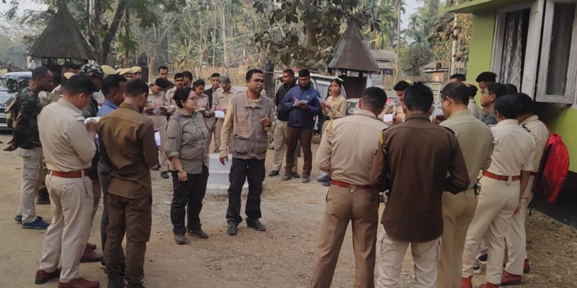
GUWAHATI: As part of the Centre’s ongoing Elephant Estimation 2024 exercise, frontline forest officials from various divisions of the Assam Forest Department received training in Global Positioning System (GPS) techniques, recently.
At the request of Tezas Mariswamy, Divisional Forest Officer (DFO) of Goalpara in Assam, a team of experts from Aaranyak, a premier research-oriented biodiversity conservation organisation, conducted the sessions at the DFO office premises.
Arup Kumar Das, a senior official at Aaranyak, led the training sessions, providing hands-on instruction and distributing block maps relevant to the Elephant Estimation exercise.
“We showcased GIS-based block maps of different ranges of Goalpara Forest Division. All Forest Range Officers attended the programme, with approximately 70 forest officials participating in total. About 15 staff members from the Goalpara Forest division received practical training on GPS, including uploading block boundaries,” informed Das.
In response to a similar request from Dimpi Bora, Divisional Forest Officer of Kamrup West Forest Division, experts, including Das, conducted GPS training sessions to support the initiative.
The experts also prepared block maps essential for elephant population estimation.
Furthermore, upon an official request from NK Das, DFO of Tinsukia Wildlife Division, Aaranyak official Das assisted in preparing block maps and providing GPS training for the ongoing Elephant Estimation 2024, particularly focusing on Dibru-Saikhowa National Park.
These efforts aim to enhance accurate recording of GPS locations of elephant sightings, thereby facilitating conservation efforts and habitat management.
In a separate initiative, Aaranyak’s conservation biologist Dr Dipankar Lahkar conducted Elephant Population Estimation training for staff members of Chirang Forest Division.
The comprehensive approach aims to guide conservation efforts by assessing population health, habitat requirements, and formulating strategies to mitigate human-elephant conflicts (HEC).
The training sessions not only focused on GPS techniques but also included instruction on the GPS Essential mobile app and practical demonstrations on uploading block boundaries using Base Camp software.


