


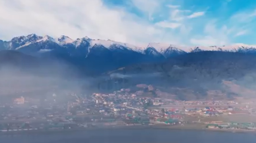
Shillong: A team of researchers from Nagaland University has completed a landmark GIS-based hydrological study that provides new scientific insights into how land-use changes and geo-ecological conditions influence runoff patterns and river flow in the North Eastern Himalayan hill region — an area long affected by data gaps and scientific debate.
The research addresses one of the most contested questions in Himalayan science: the real impact of land-use change on river discharge, flooding and environmental degradation.
Titled “GIS Modeling to investigate geo-ecological and anthropogenic impacts on runoff and river flow in the North Eastern hilly region of India”, the study has been published in the peer-reviewed International Journal of Geographic Information System Research and Development.
Beyond theoretical analysis, the study offers practical applications by proposing a four-zone runoff classification system — low, moderate, high and very high runoff zones — aimed at supporting water resource planning, flood risk reduction and integrated watershed management.
Nagaland University Vice-Chancellor Jagadish K. Patnaik said the findings would benefit policymakers, planners and local communities, while also serving as a model for similar ecologically fragile regions across the Himalayas and the rest of India.
ALSO READ: NHRC takes suo motu cognisance of Meghalaya coal mine blast

He described the research as timely and significant in strengthening understanding of runoff patterns, flood risks and sustainable water management in hill ecosystems.
Professor M. S. Rawat of the Department of Geography, School of Sciences, Nagaland University, said the study focused on four experimentally monitored watersheds in Kohima district.
He explained that the research team combined advanced geospatial techniques with systematic field-based hydrological measurements — an approach rarely attempted in the Indian Himalayan region.
The study generated continuous stream discharge data across contrasting land-use systems, including dense forests, open forests, agricultural areas and urban landscapes, creating one of the first benchmark hydrological datasets for the North Eastern Himalayan region.


